
La Soufrière
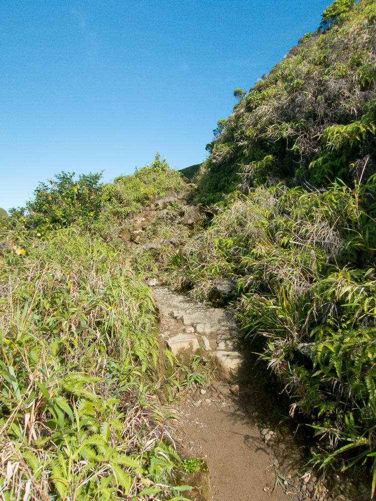
We were supposed to go to Marie-Galante today, but the ferrys were full. La Soufrière is usually covered in clouds, but this morning there were almost none. So we decided to hike “athletically” to the summit (getting to the top is advertised to 1 hour 45 minutes). Armed with one of my latest toys (Garmin 310XT GPS watch), I registered the hike: 2 hours and 21 minutes (1 hour 10 mn to get to the top, 15 mn walking around the summit, 55 mn to get back), 7.2 km, 561 m of elevation. The highest point is called “La Découverte” and sits at 1467 m.
We were lucky to have the weather hold while hiking (it got much cloudier a few hours later) and that gave us some really nice pictures.
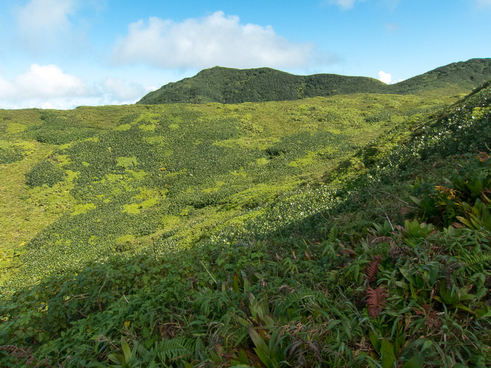
 The Target
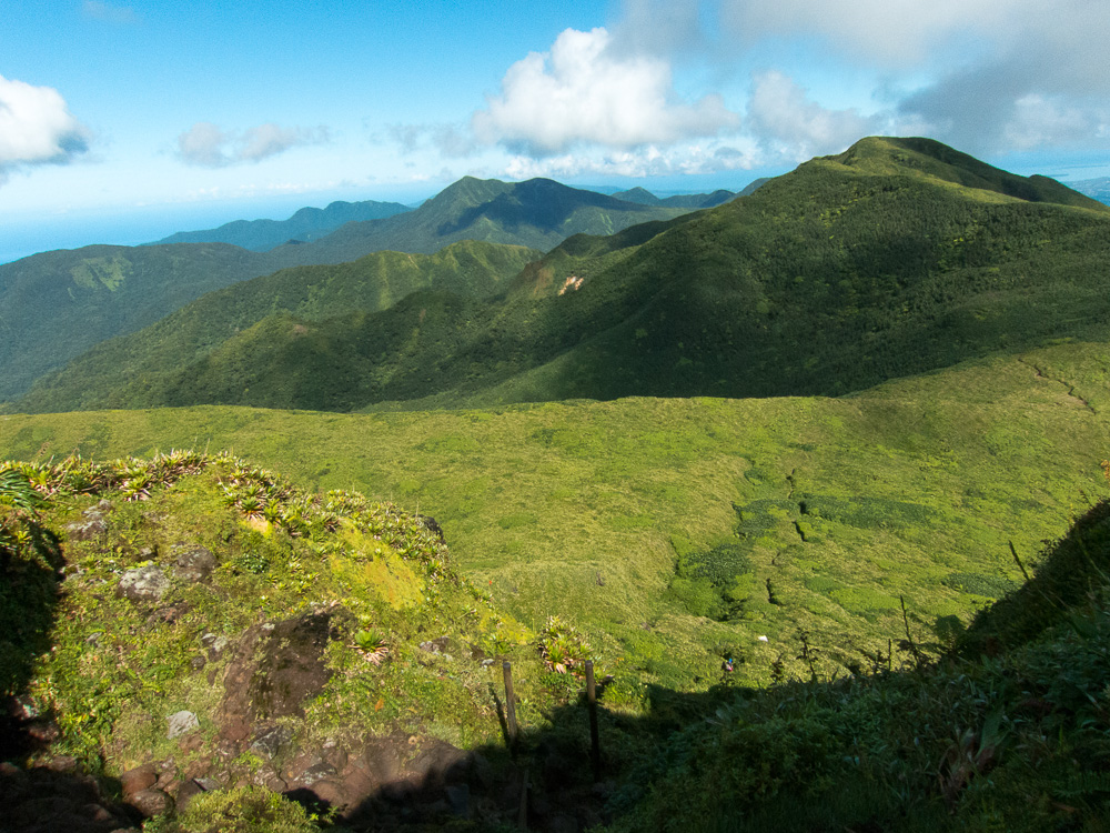
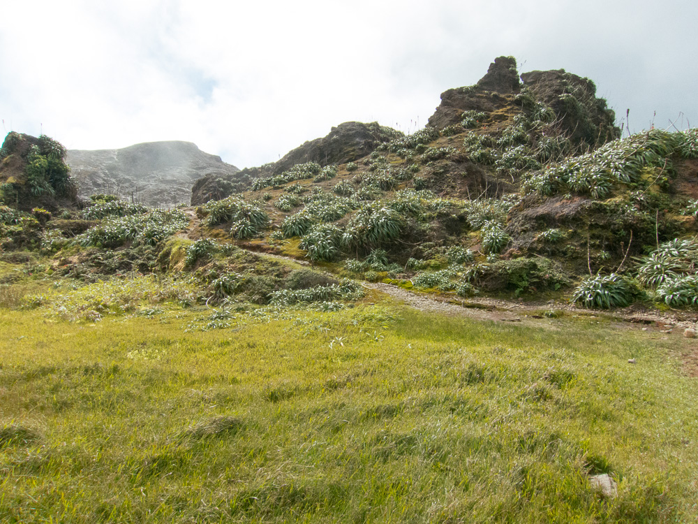
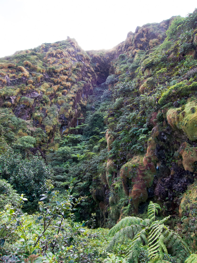 Eboulement Faujas

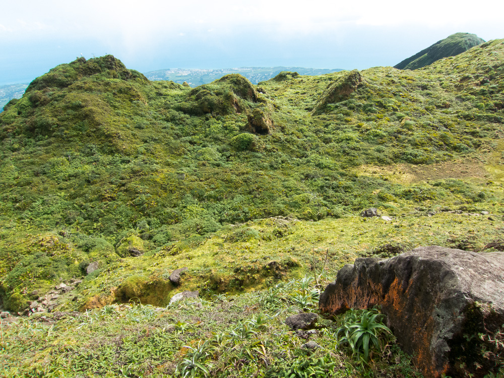
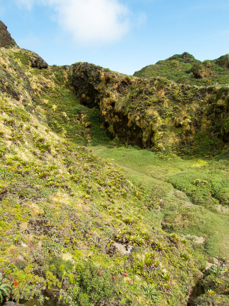
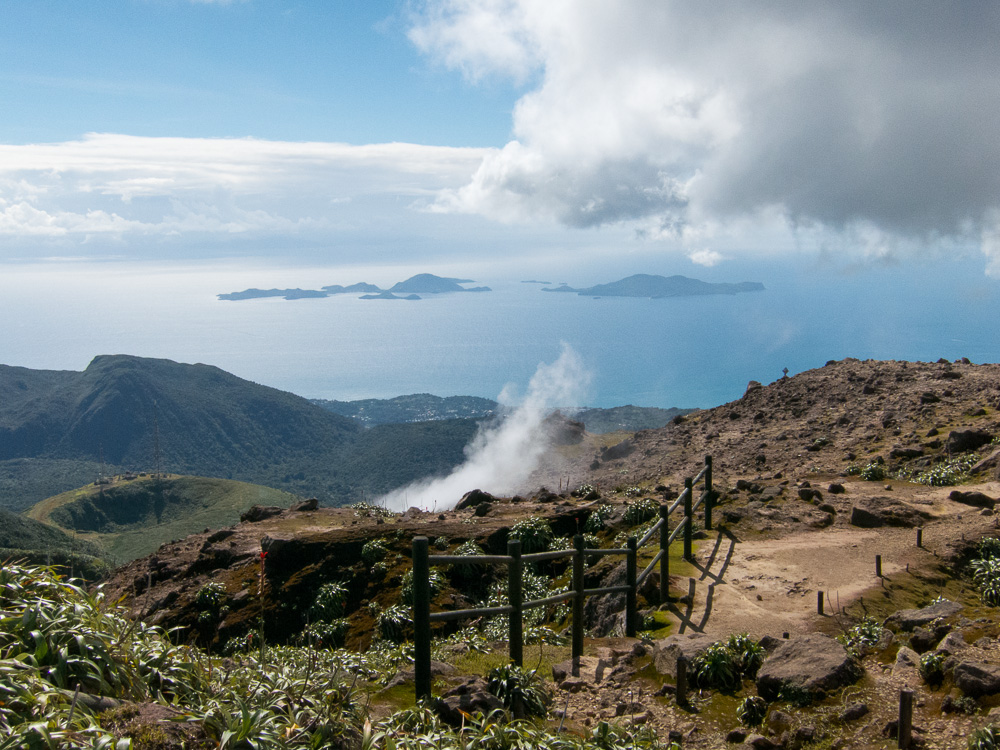
 View of the crater
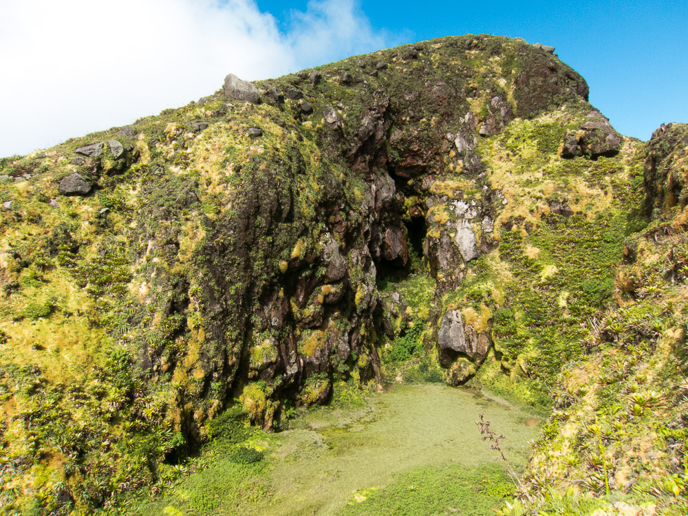
 Plants at the top

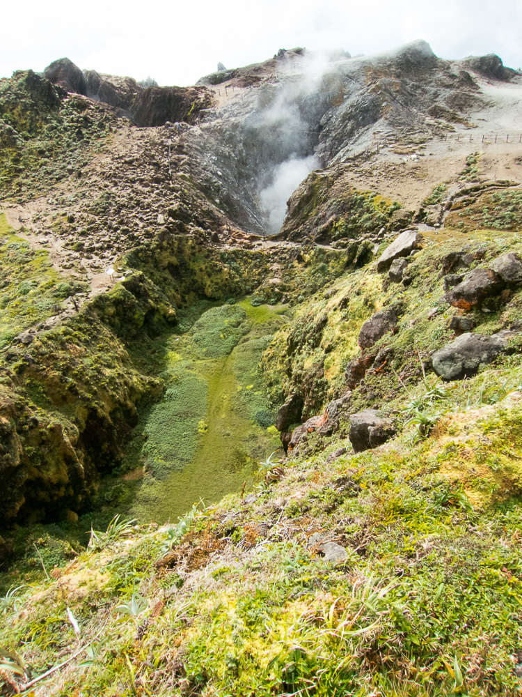
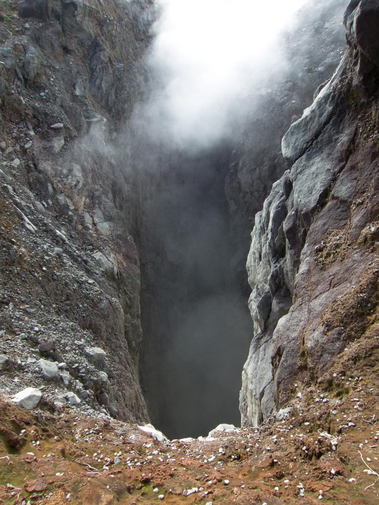 Most active vent
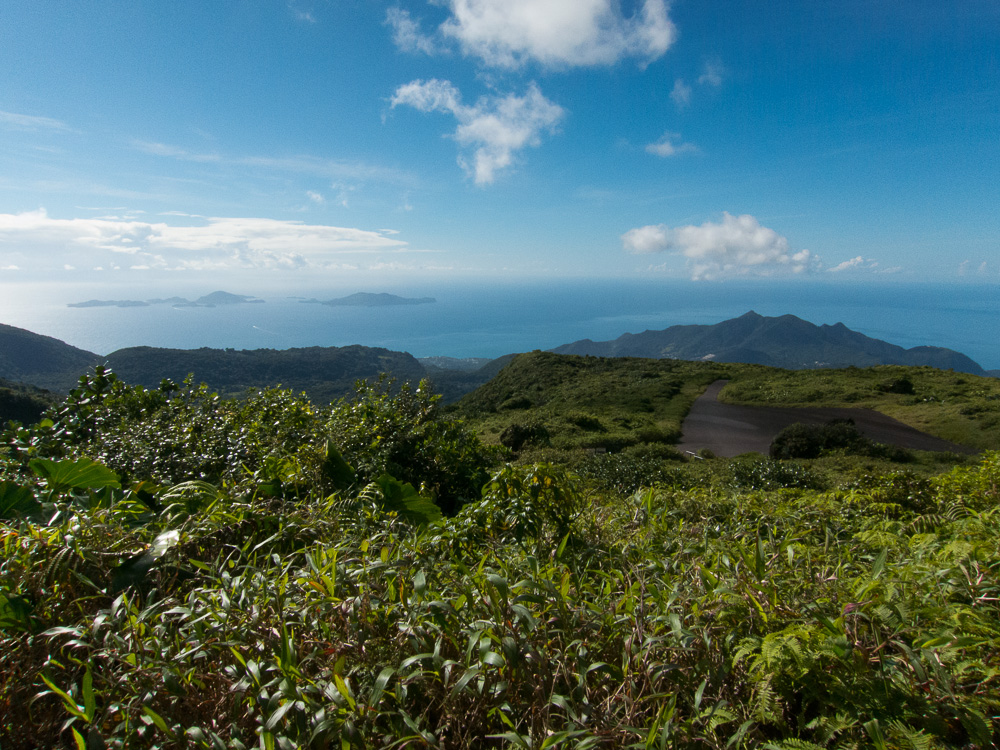
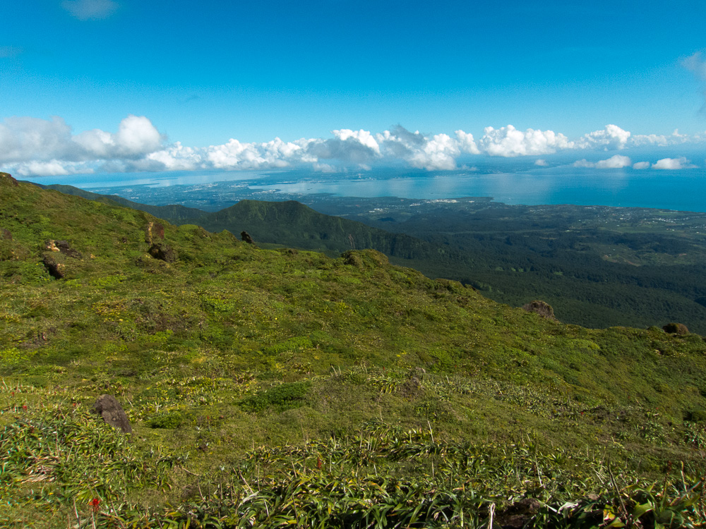 View of Point-à-Pitre and Baie Mahault
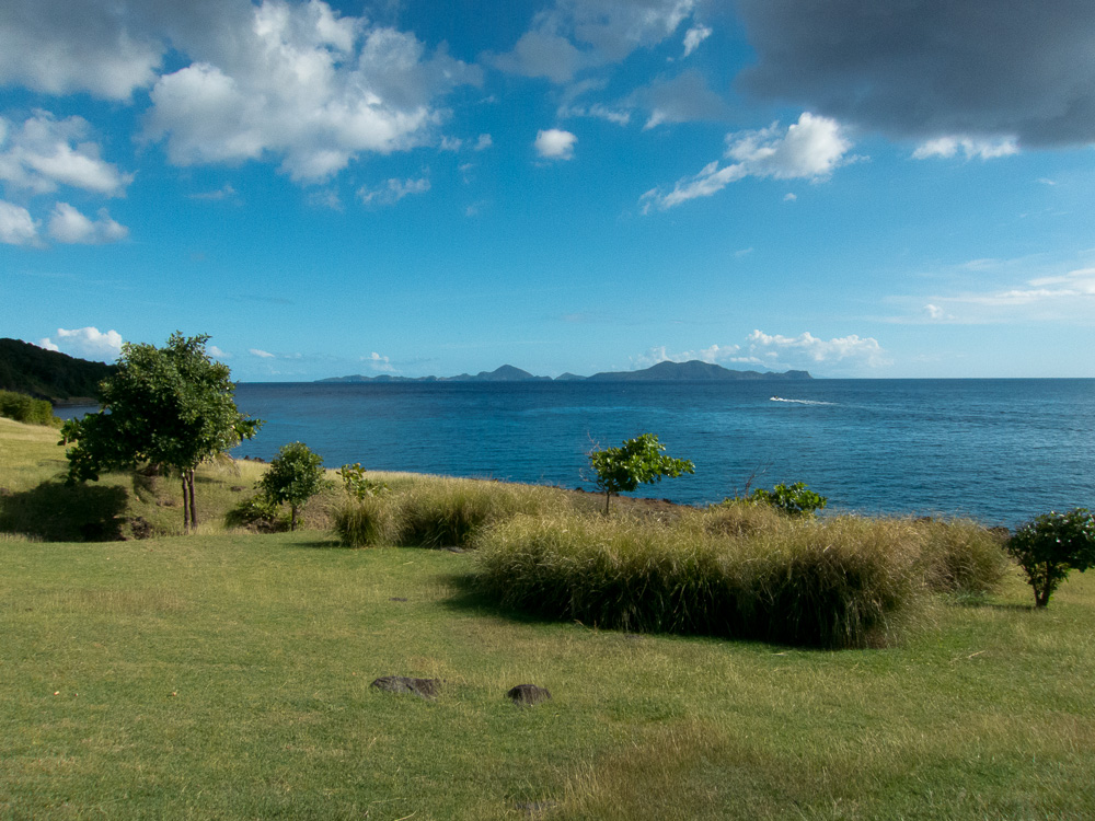 View of Les Saintes from Fort Delgres.
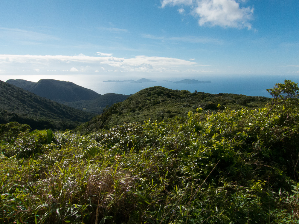
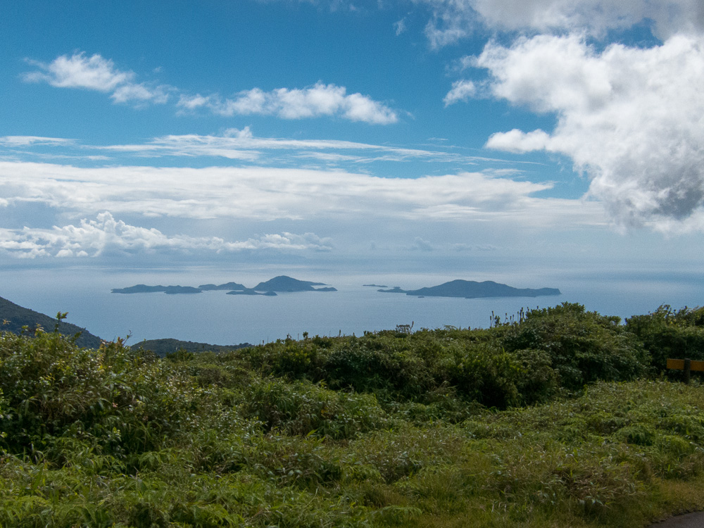
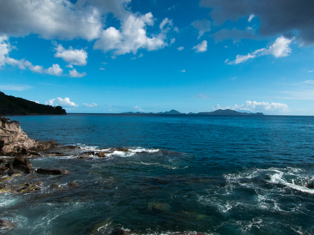 View of Les Saintes from the southernmost point of Basse-Terre, the "Phare Blanc" firehouse
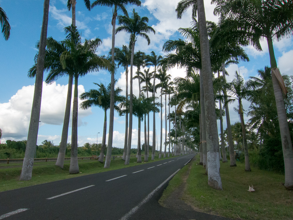 Allée Dumanoire
After La Soufrière, we went to Basse-Terre (the city) and Vieux-Fort.
